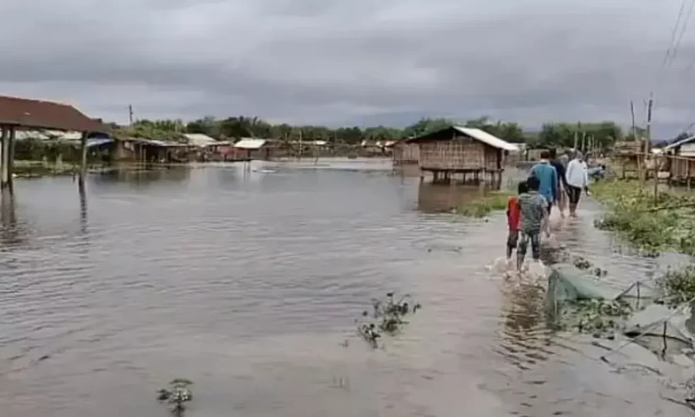
Guwahati: Between 2020 and October 2024, extreme flood levels were recorded at 7 flood forecasting stations of the Central Water Commission (CWC) in Assam. Four flood forecasting stations in Assam recorded extreme flood levels this year. Floods wreaked havoc in Assam this year, perishing more than 100 people.
Moreover, 37 flood forecasting stations across the country witnessed extreme flood levels from 2020 to 2024. Extreme flood level means water level exceeding the previous highest flood level in a river.
According to information from the Ministry of Jal Shakti, in the year 2020, the flood forecasting station in Sivasagar recorded an extreme flood level in the Dikhow River. In 2021, there was no record of extreme flood levels in the state. But, in 2022, extreme flood levels were recorded in the Kopili River at Kampur in the Nagaon district. Again in 2023, the flood forecasting station in Sivasagar recorded extreme flood levels in the Dikhow River.
This year, 6 flood forecasting stations across the country experienced such extreme flood levels. Of the 6 stations, 4 flood forecasting stations are located in Assam, while 2 are in Bihar. Assam’s flood forecasting stations at Neamatighat in Jorhat district (Brahmaputra River), Jia Bharali NT Road Crossing in the Sonitpur district (Jia Bharali River), Sivasagar (Dikhow River), and Khowang in Dibrugarh district (Buridehing River) witnessed such extreme flood levels in 2024.
In Bihar, the flood forecasting stations at Dheng Bridge (Bagmati River) and Runisaidpur (Bagmati River) recorded extreme flood levels this year.
The Ministry of Jal Shakti states that floods are primarily a natural calamity that India faces almost every year, in varying degrees of magnitude. The Central Water Commission (CWC) is the nodal organisation for flood forecasting and flood monitoring in the country. CWC maintains two types of forecasting stations that operate across the country, viz. Level Forecast and Inflow Forecast. The level forecasts help local administration and other agencies to decide on mitigating measures, such as evacuating people and their movable property to safer locations.
Inflow forecast helps in catering to flood mitigation by providing flood cushion and regulating the flood intensity. CWC issues an inflow forecast for various reservoirs and dams once inflow exceeds a certain threshold value. This is used by project authorities for the optimum operation of reservoirs to ensure safe passage of floodwaters downstream and to ensure adequate storage in the reservoirs for meeting demand during the non-monsoon period.


